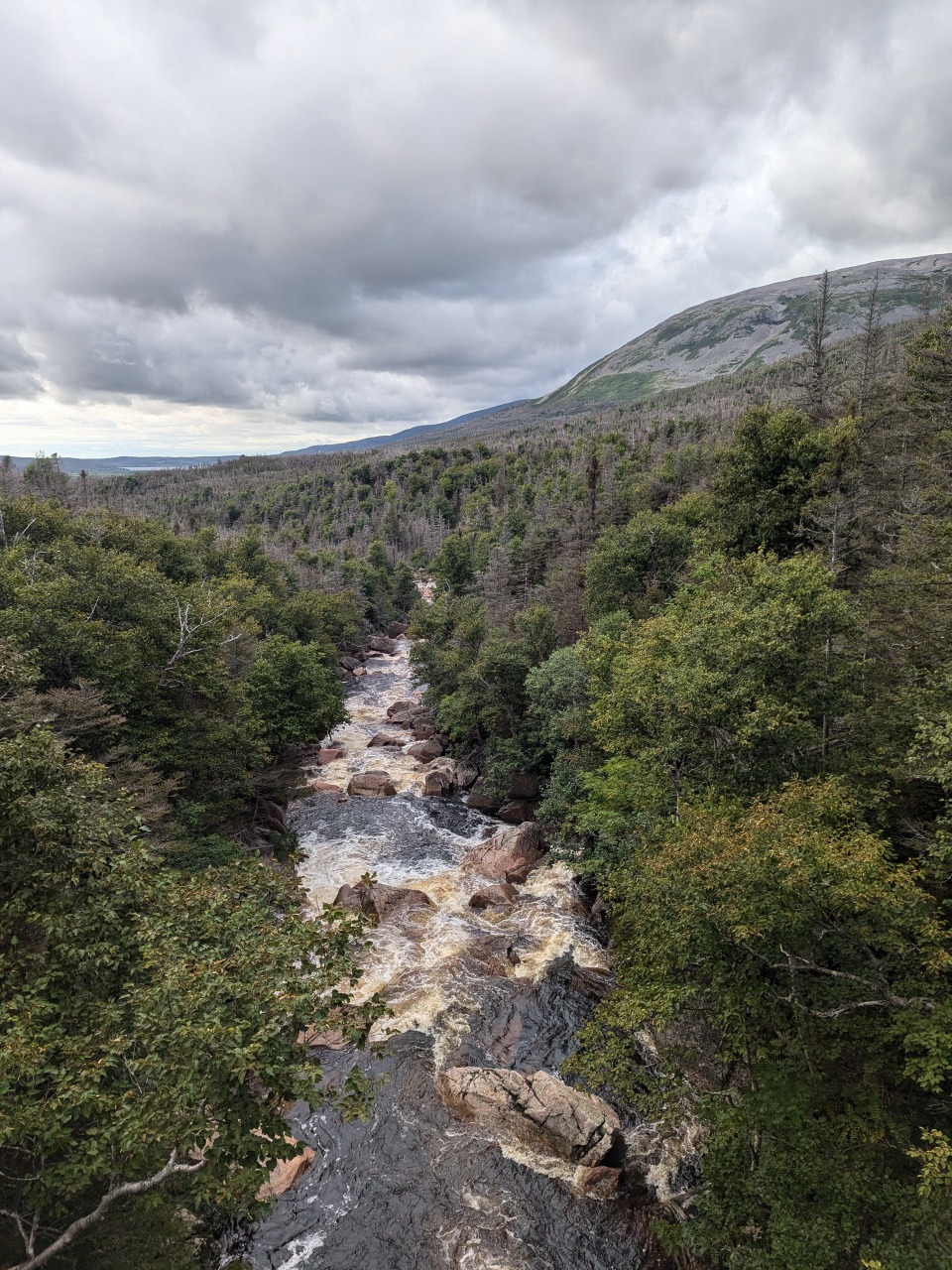
Northern and Long Range Traverses
A profoundly challenging and beautiful route.
August 25 - 29, 2024 -- compiled by Jeff DePree
featured on jeffdepree.com
}
A profoundly challenging and beautiful route.
August 25 - 29, 2024 -- compiled by Jeff DePree
featured on jeffdepree.com
www.strava.com/activities/12276773093
Logistics and Expenses
For the traverse combo, Parks Canada sells just one permit per day, for up to 4 people, at CA$165 per person. There are a few more permits available each day if you want to hike just the Northern or Long Range Traverse - these are presumably cheaper, but you’ll also need to jump on a boat tour to reach the start or return from the end (CA$60). Your permit allows you to stay at any of a number of established campsites with platforms, bear boxes, and toilets – or you can plop your tent down absolutely anywhere else and poop in catholes.
There are shuttles from the airport to this dock for CA$140, but hitchhiking or driving would seem the right choice for most groups. My friends managed to arrange a ride straight from the baggage carousel that included a stop at a grocery store in Deer Lake before setting out for the largely service-free north. Multiple discount airlines fly to Deer Lake for very little from other Canadian airports, but getting there from the States is pricier.
Route Finding
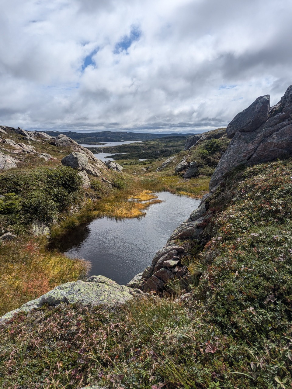
While helicopter rescues are included in the price, the Parks service has managed to curtail the number it deploys by instituting a mandatory orientation session the evening before your hike. You are expected to carry a paper map and compass and demonstrate proficiency at using them to follow the route. The terrain is rather gentle and forgiving – most everything is covered in a soft, springy layer of low shrubs, and you could probably scamper barefoot along the plateaus with nary a scratch. As long as you can work your way around the contours of the cliffs, ponds, and rivers, the only real obstacle to slow your progress is the tuckamores, and you will come to hate these more than anything else.
Tuckamores are small, gnarly trees that form nearly impassable groves throughout the route. In select spots, humans and animals have tunneled through them, but the branches have regrown to make these stretches particularly unpleasant.
Most people only do the Long Traverse, and this stretch is a lot more trail-like and tuckamore-free, and it could probably be followed rather faithfully without the aid of a map or gpx track. And while you’d be lucky to make 10km a day on the Northern Traverse, ten miles could be a reasonable day on the Long.
Water
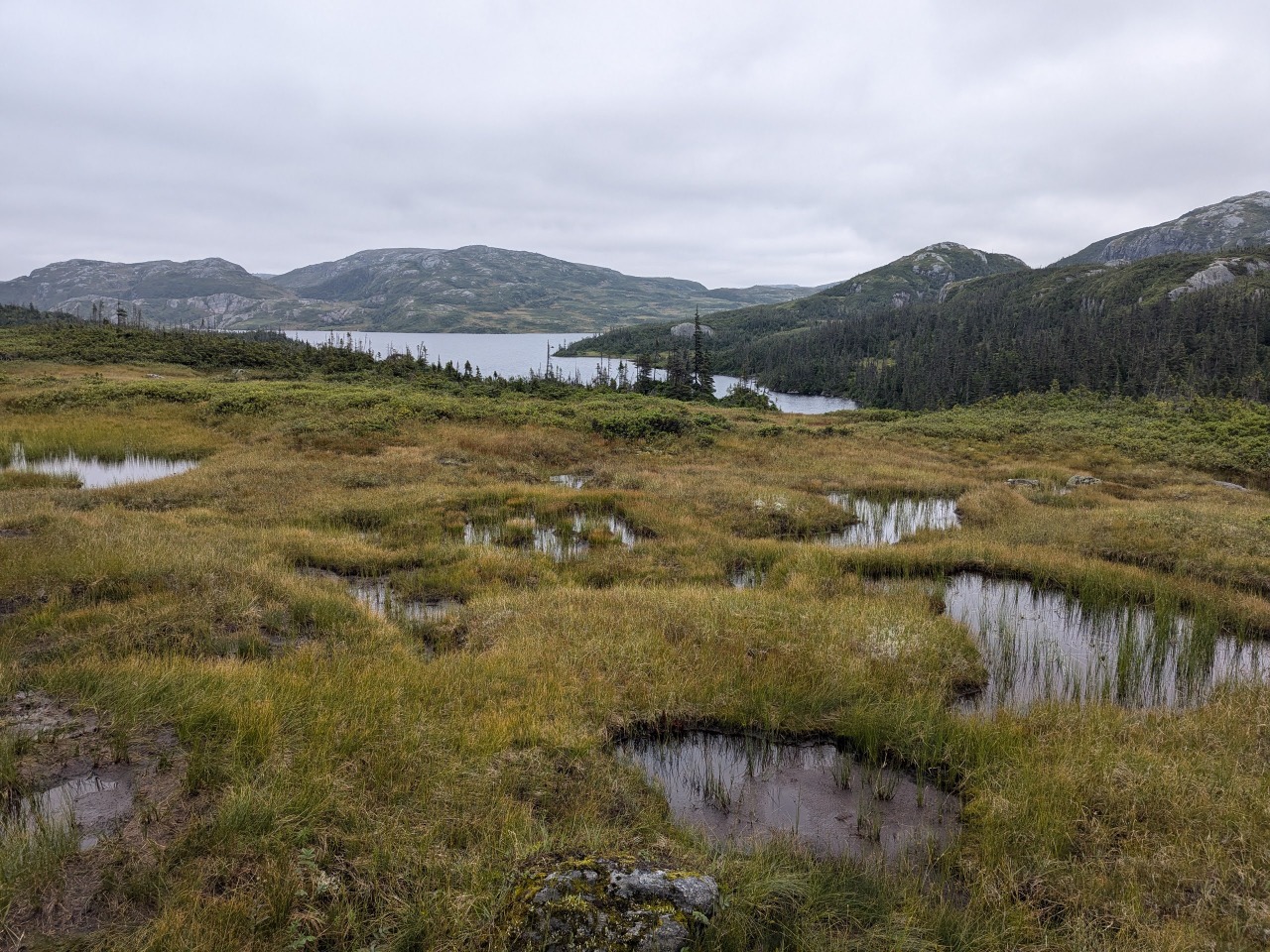
This route is 95% water. You will forever be wading through streams, falling into knee-deep mud holes, and traipsing along the banks of ponds. The only reason to carry more than a few ounces is to avoid frequent filtering stops.
Weather
When we started, it was warm, sunny, and generally delightful. Then we had a day of high winds and driving rain, and the trails turned to streams and waterfalls, and the reach of the tuckamore branches turned from tormentor to savior. As with backpacking most places, everything gets a lot harder once your gear gets wet.
A Thumb and a Prayer
When hitchhiking goes well, there is no finer form of transit, and when it goes poorly, it is no transit at all. There isn’t much to the town of Deer Lake, but it is modern and sprawling, and the busy highway leading out of town is not conducive to catching a ride. I walked a ways past the famed Insectarium before finding an onramp that might allow an interested party to safely pull over and pick me up. I probably hadn’t waited more than ten minutes at this spot before a man pulled over.
He was a retired school librarian from St. John’s and was returning from an author drop-off for the Writers at Woody Point festival. He regaled me with tales of late nights of live music and readings, and this nearly led me to stay on with him past his turn and continue my journey, following a few festivities, with a water taxi to Norris Point. He told me of how he had once done the hike to which I was now headed, and he shared an account of another hitchhiker he had picked up years ago, just a few days after they first canceled the bus route that ran along this coast.
That story went something like this: With a destination of Gros Morne National Park, and no other options available to him, a young European was hitchhiking for the first time and was picked up by the aforementioned librarian. Without any experience in this mode, the man soon convinced himself that he would surely be the victim of a horrific crime. When his driver claimed he wanted to show his guest something, stopped the car, and lifted a large boulder from the side of the road, it soon became clear to this newly-minted thumber, that he would shortly have his brains bashed in. But such fears were immediately allayed by the appearance of an impressive trilobite fossil that the stone had been protecting, and the ride would run its course without incident, and the two would find occasion to meet up for drinks in the days to follow.
It was not until many years later that the nascent hitchhiker would contact the driver and inform him that he had since hitchhiked tens of thousands of miles all over the world, was in the process of writing a book about the experience, and wanted to share his first chapter. In these pages, it was first revealed to the driver the terrors that his passenger had felt upon their first meeting.
For my part, I held no such fears and felt no huge relief when I was dropped off at a quiet intersection near the entrance of the national park. I walked to the next pull-off and was almost immediately picked up by a retired dentist from Prince Edward Island who had circled back at the behest of his grandson. He had also hiked the same trail years ago, but spent much of the ride sharing his apprehensions concerning the over-vaxxing tendencies of the country’s current socialist leader.
Only 27km remained to the start of the trail, but I would need to walk almost all of it, as none among the dozens of tourists going that direction showed any interest in sharing their ride. A minibus of Australians took me a kilometer up the road, and a local, who along with his father, routinely guided the route to which I was headed, carried me a further 5km to his home village. The one restaurant along the road stayed open just long enough to refill my water bottle.
I would arrive six hours late for the boat tour on which my friends had embarked before subsequently beginning their hike.
Cat Encounter
After many hours of unsuccessful hitchhiking and supplemental walking, I finally arrived at the trailhead for the hike around dusk. Three kilometers in, I had hoped to find a lively bar and music at the ferry terminal, but was greeted with a shuttered building and only a single family wandering about the dock in the dark. I set out for the Northern Traverse, following a thin, muddy path through cattails, trying my best to avoid the hundreds of large frogs whose eyes reflected back the light from my headlamp, as they defiantly stood their ground in the middle of the trail. A driver earlier that day had informed me that a bridge had collapsed and I would likely need to make a waist-deep crossing – or perhaps it would be deeper still on account of the recent rains. Accordingly, when I arrived at the river bank, I stripped off all my clothes, cinched my backpack as high as possible and stepped into the swiftly-flowing waters.
The second I began my crossing, I noticed a pair of glowing eyes on the opposite bank. Assuming it was a deer, I continued further and tried to get a better look. As I drew closer, the outlines of a large cat began to take shape, and its movements along the bank tracked my own. I seemed to remember reading that there was no verifiable evidence of cougars in Newfoundland, but it was hard to guess what else this could be. It certainly seemed tall for a lynx.
I returned to the cat-free bank, threw on my shorts as quickly as possible, and scurried to reach the relative safety of the ferry building. I briefly considered locking myself in one of several large dog kennels, or plopping my pad on the floor of the bathroom, but eventually opted to set up on the deck and assemble four protective walls of heavy furniture. I’ve had more fitful nights of sleep – every time my tent rustled in the wind, I suspected a probing paw, and the start of each mournful loon cry briefly suggested something more sinister – but I managed a few hours and was up and packed before the shop opened in the morning.
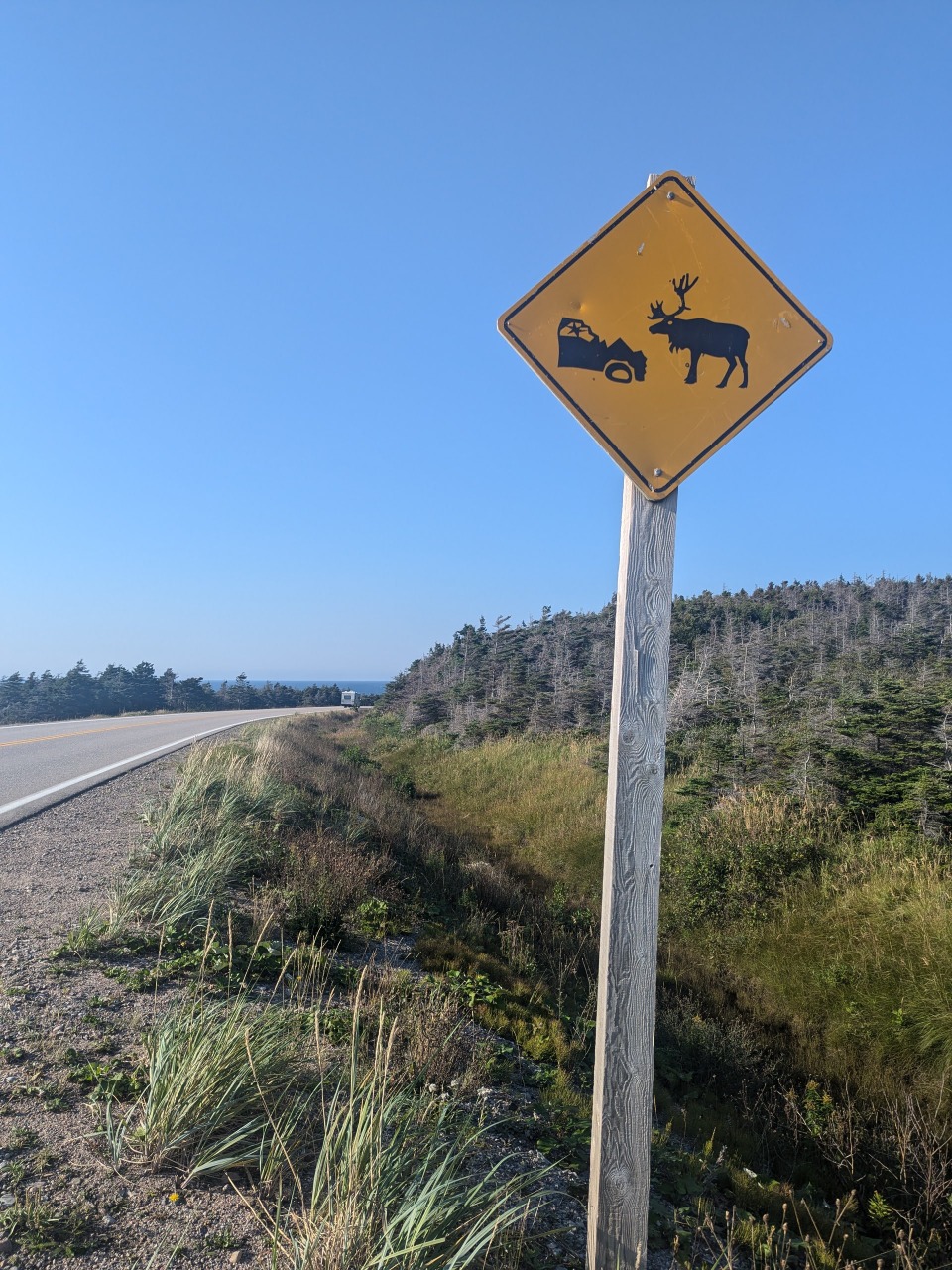
There are even greater dangers on the highways of Newfoundland than the occasional wild-eyed hitchhiker.
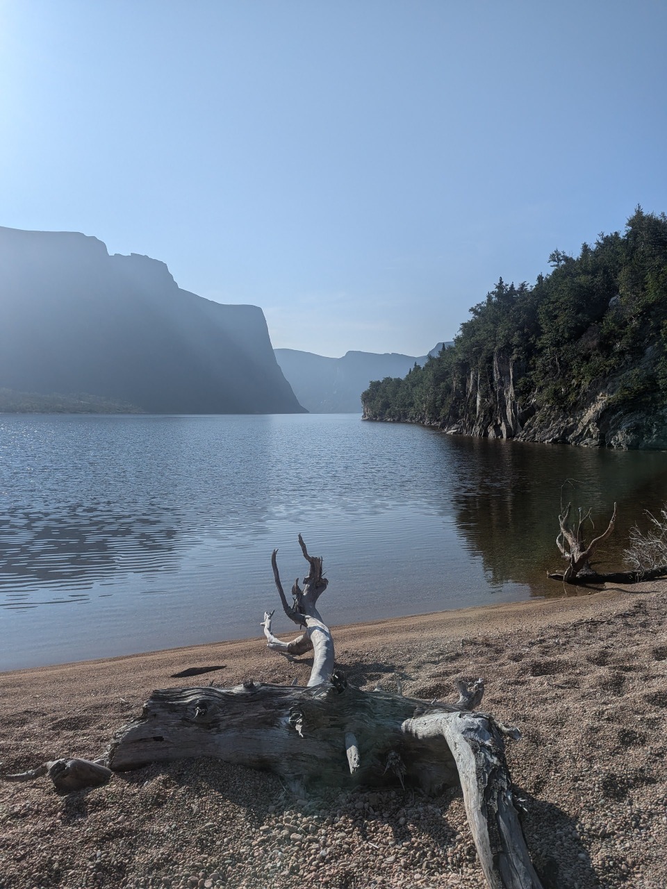
My return to the river was entirely frog-free and nothing awaited me on the opposite shore. I walked across in my shorts and only sank up to my knees. The next two hours were marked by thick brush, deep mud, and a poorly-defined path that was equally likely to be the product of a moose’s passage as that of a human. Occasionally, a sign would direct me onto the beach, and the deep, slanted pebbles served as a welcome reprieve before I was once again compelled to dive into the adjacent jungle. Finally, I spied a figure reminiscent of my old friend, Cat, moving along the beach ahead and called out. I had reached the first campsite and my group, unnerved by my absence, had built layers of contingency around my delayed arrival.
The route that followed was a steep, uphill slog through brambles and deep mud. Rarely did my shoes reach a state that might be called “dry” and my socks were quickly reduced to scrap cloth. Alex sporadically checked his gpx track to ensure that we remained somewhere close to our intended course.
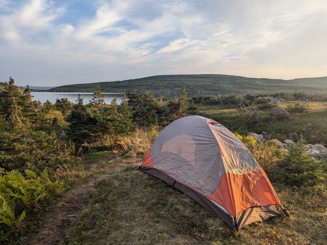
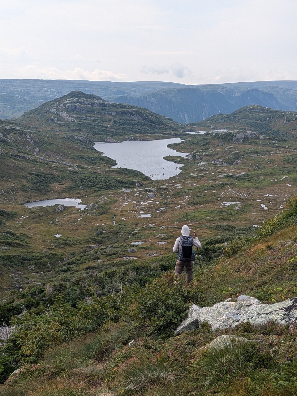
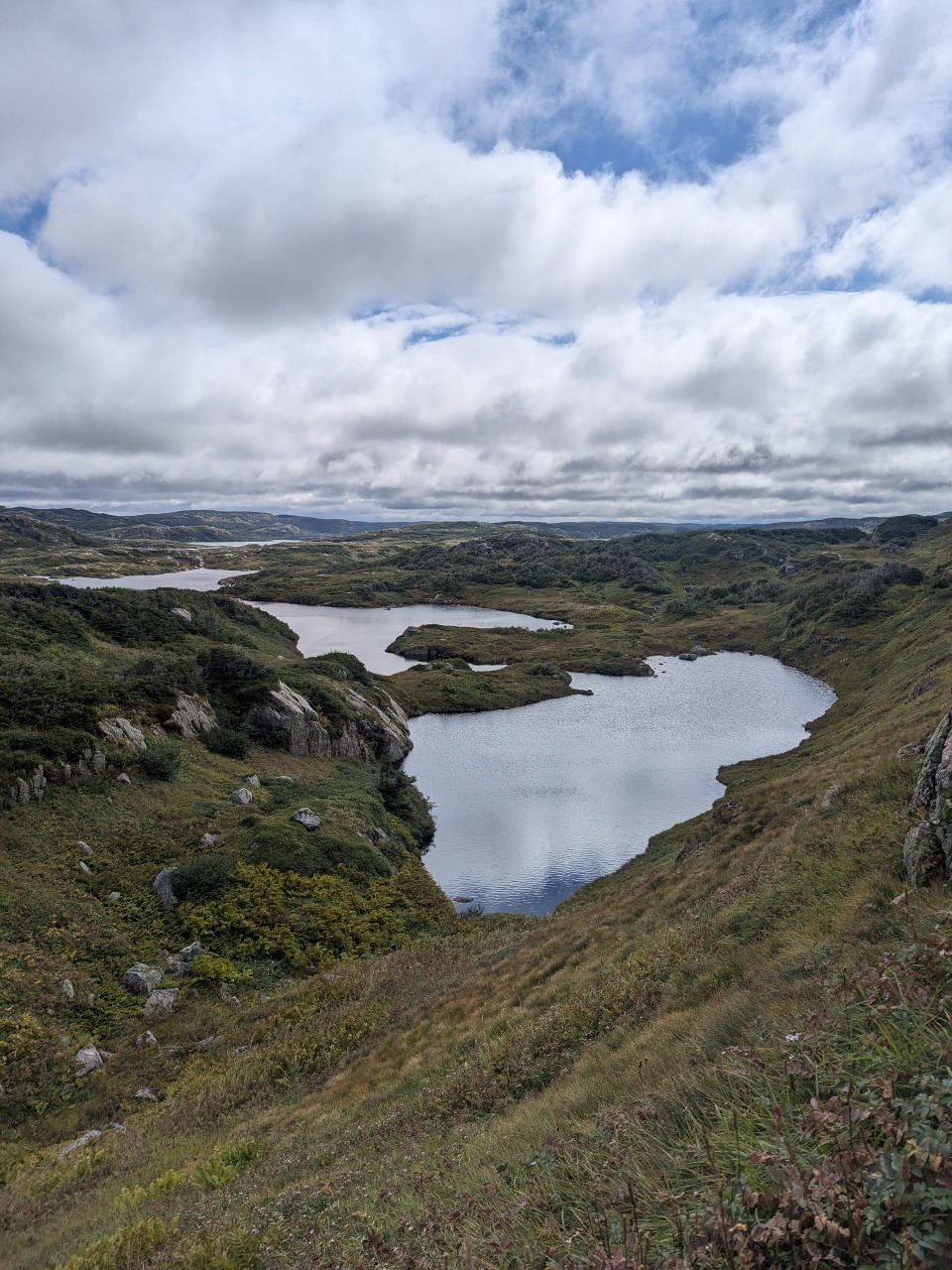
As we topped out on the plateau, we discovered vast expanses of blueberries, crowberries, and lingonberries, and spent many a break lounging on the soft ground cover, picking out handfuls of sweet snacks. Progress was slow and we barely covered the 10km stretch to Triangle Pond before sunset.
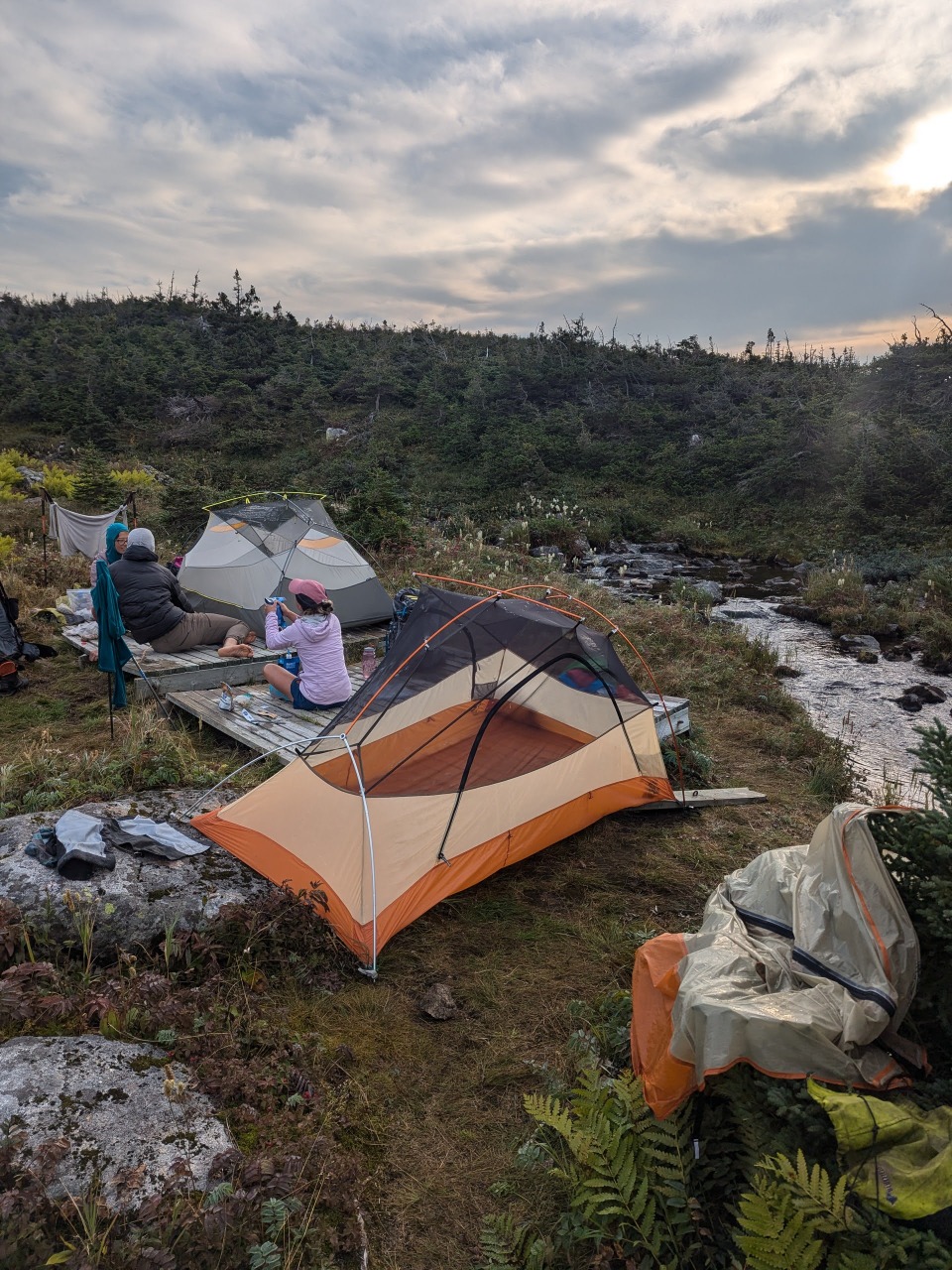
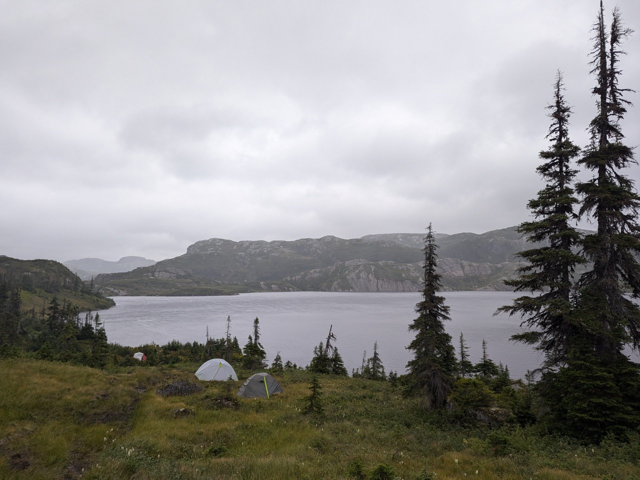
Here, we set up our tents on two decrepit platforms along a stream. The only other group didn’t respond to our greeting. A nearby bear box was cracked open and had no chance of keeping out interested critters, and so we opted to sleep with our food. The open-air toilet took some effort to find, but was eventually discovered hidden away in a secret grove a mere 20ft from where we slept.
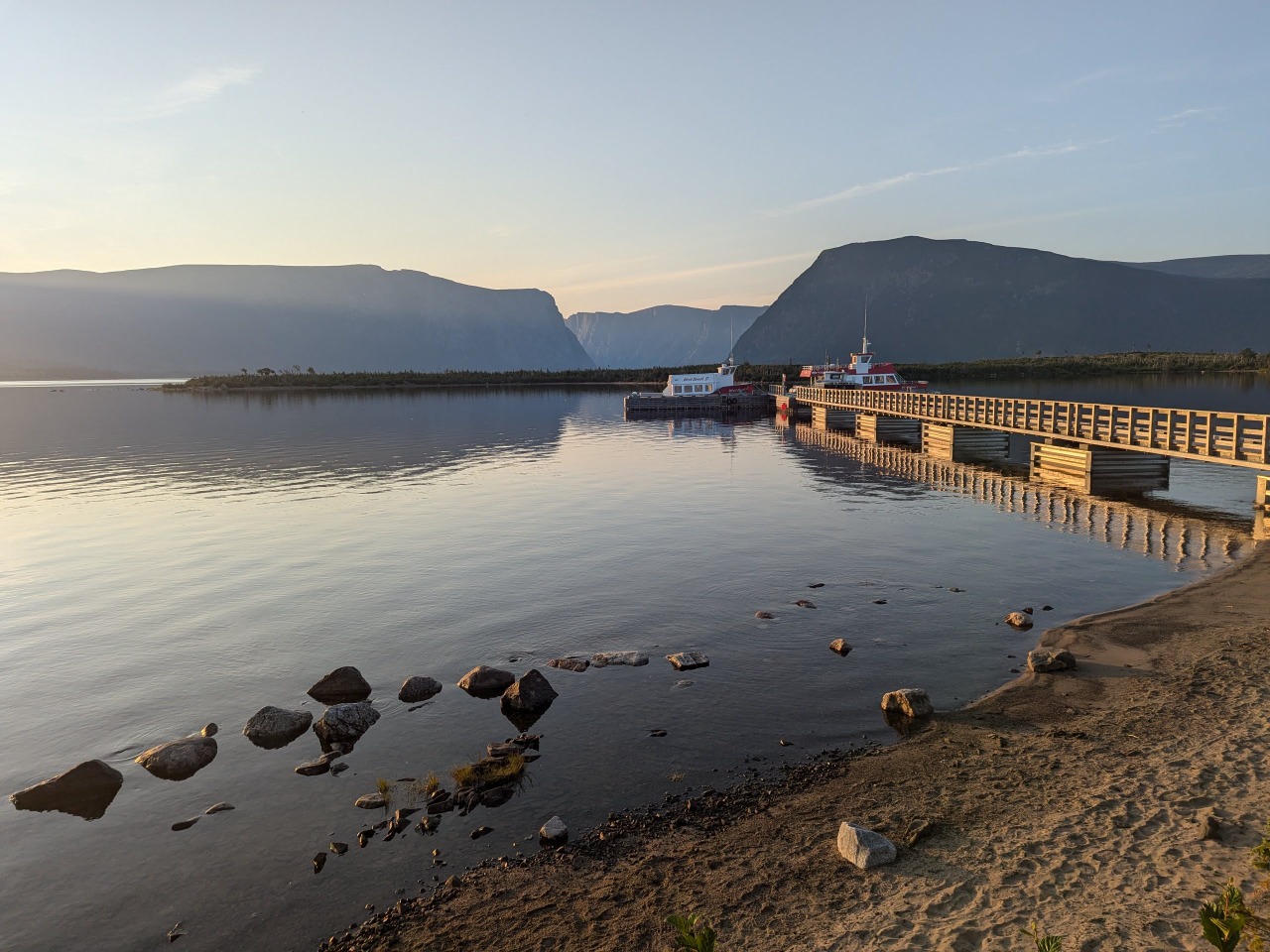
The ferry tour I missed by a mere 6 hours.
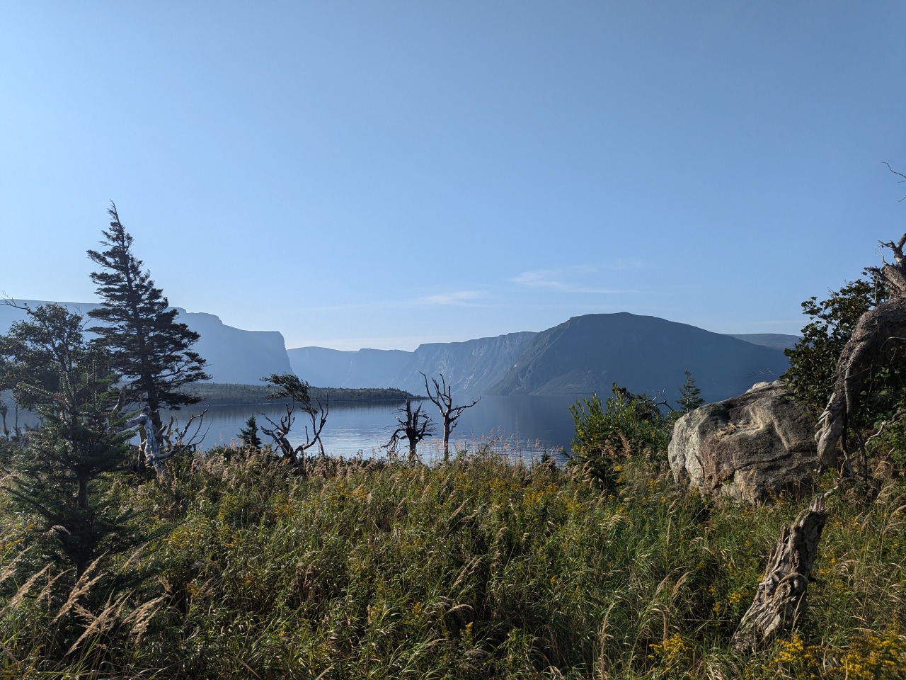
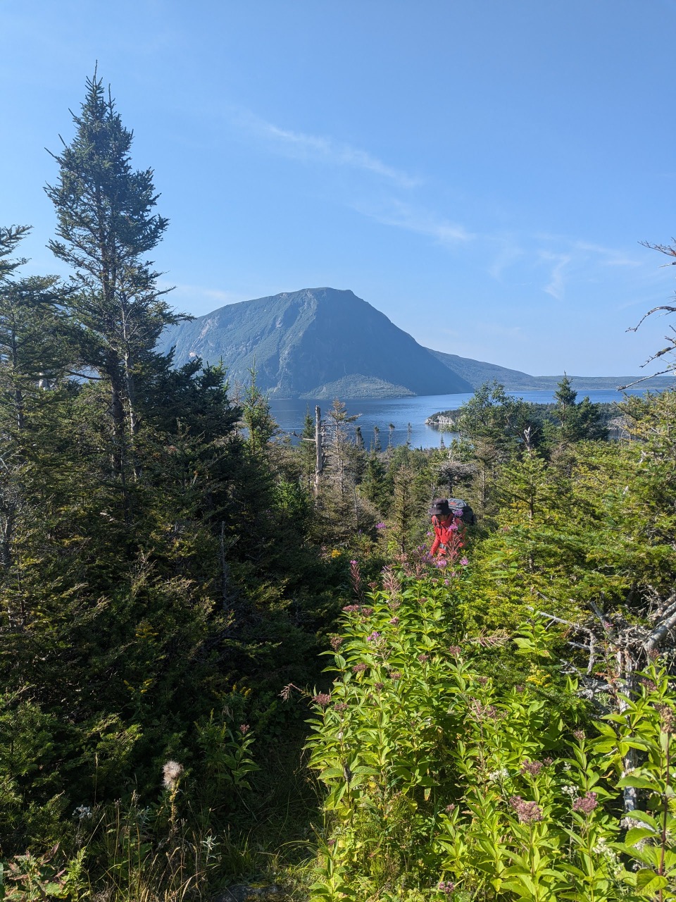
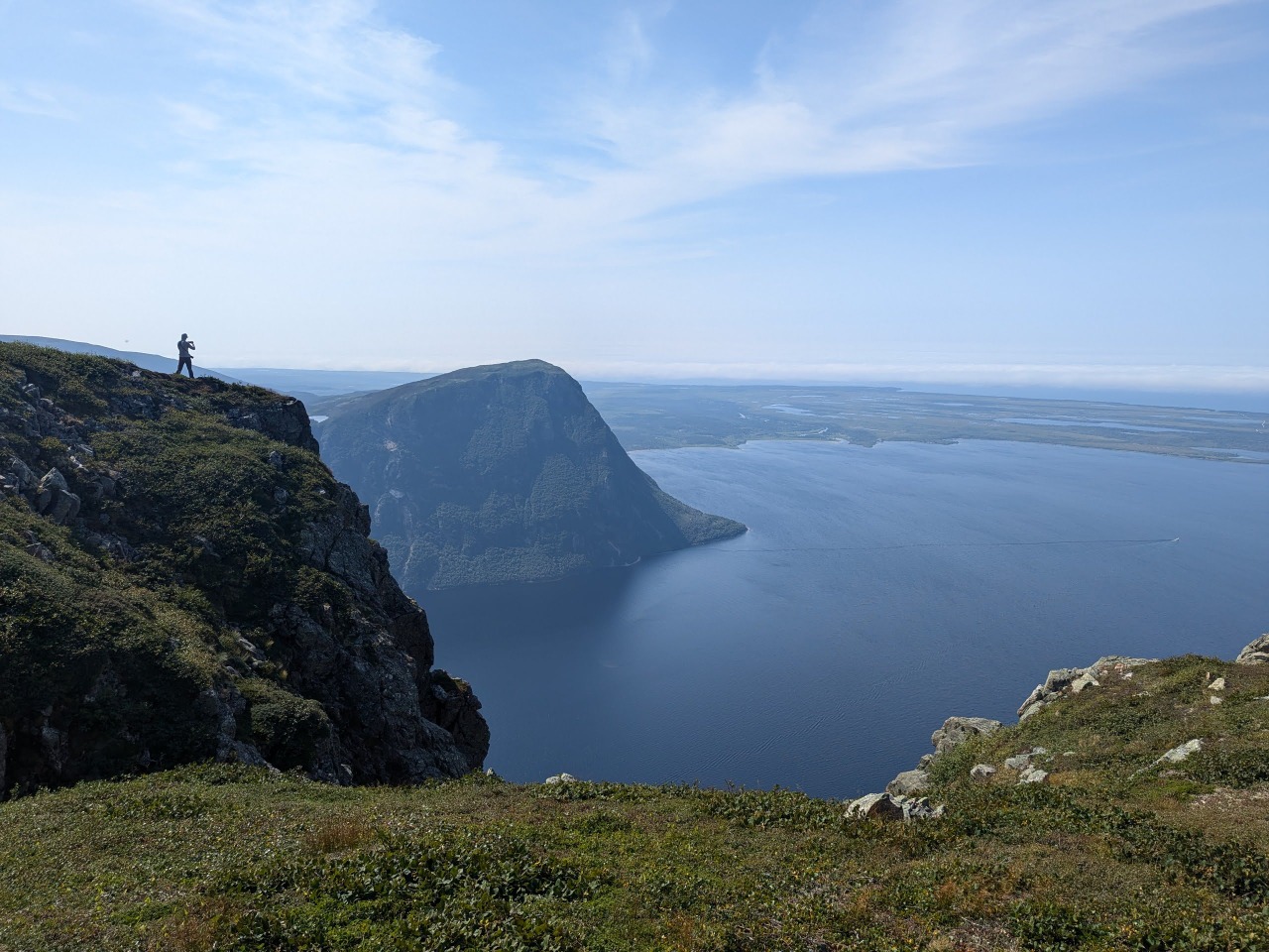
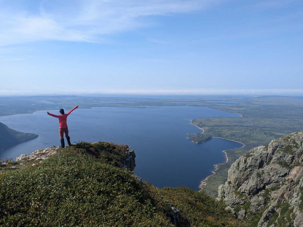
I was following a delightfully plain and level path that looked to be angling around a rock fin when Alex spoke up to inform me that we were a few dozen meters from the gpx track. The track apparently wanted us to abandon any hopes of circumventing the fins, and instead set about following a steep and overgrown path straight up and over them. The next several hours entailed multiple desperate ascents, often clawing through forests of tuckamores, and equally desperate descents. The backside of one fin held a nearly vertical cliff, where our progress was only slowed by a tangle of branches that we were forced to crawl through.
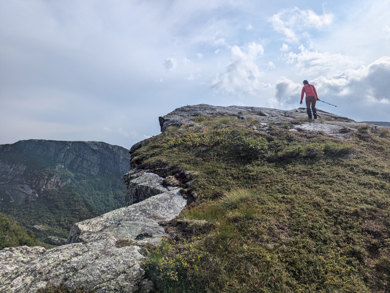
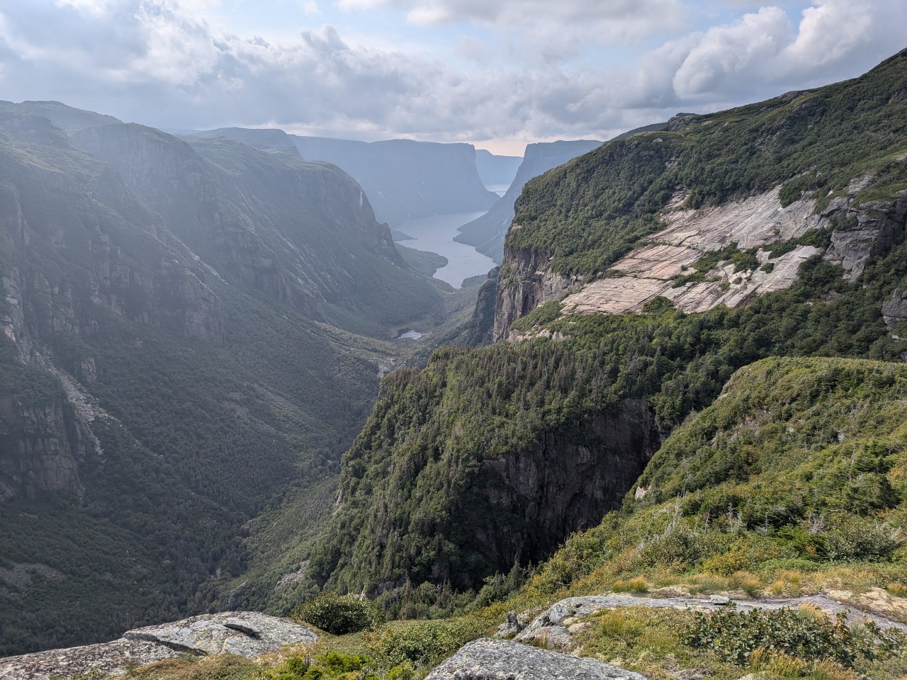
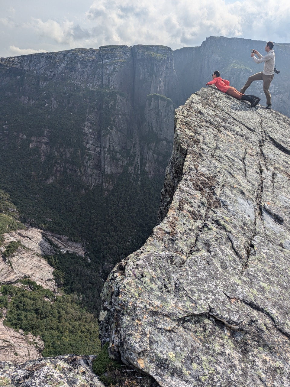
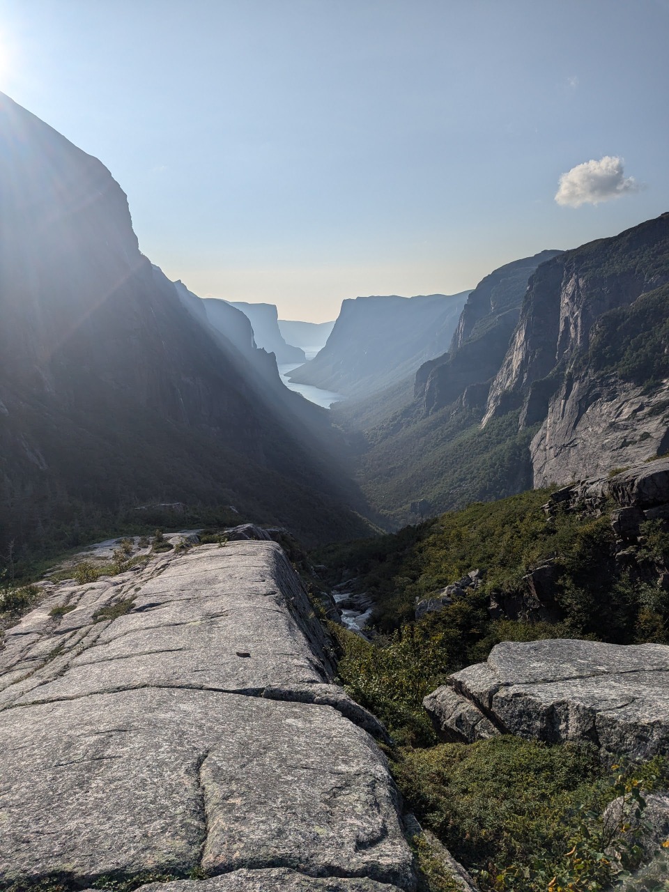
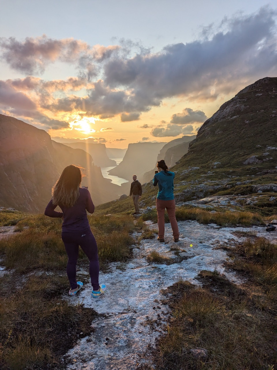
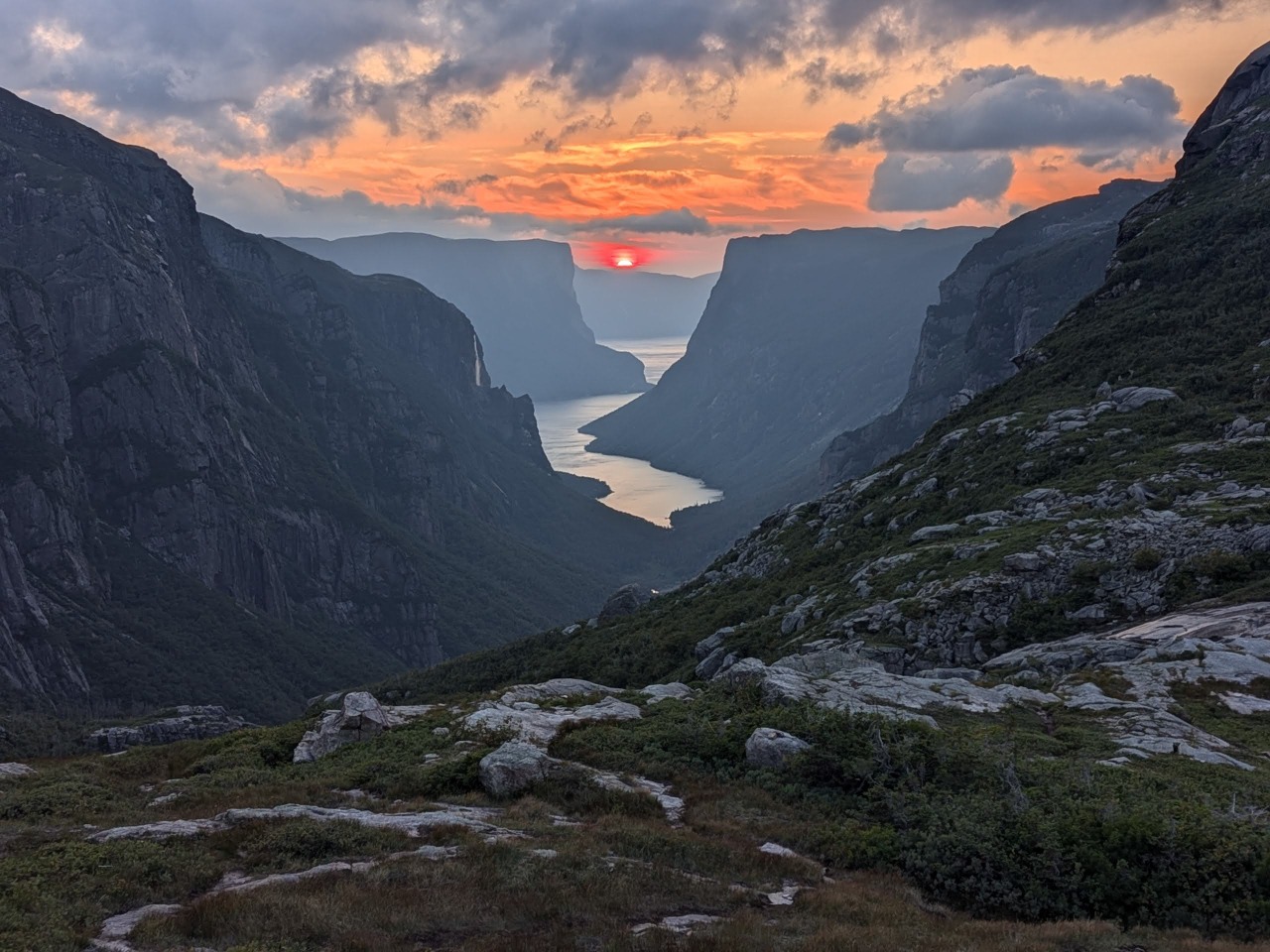
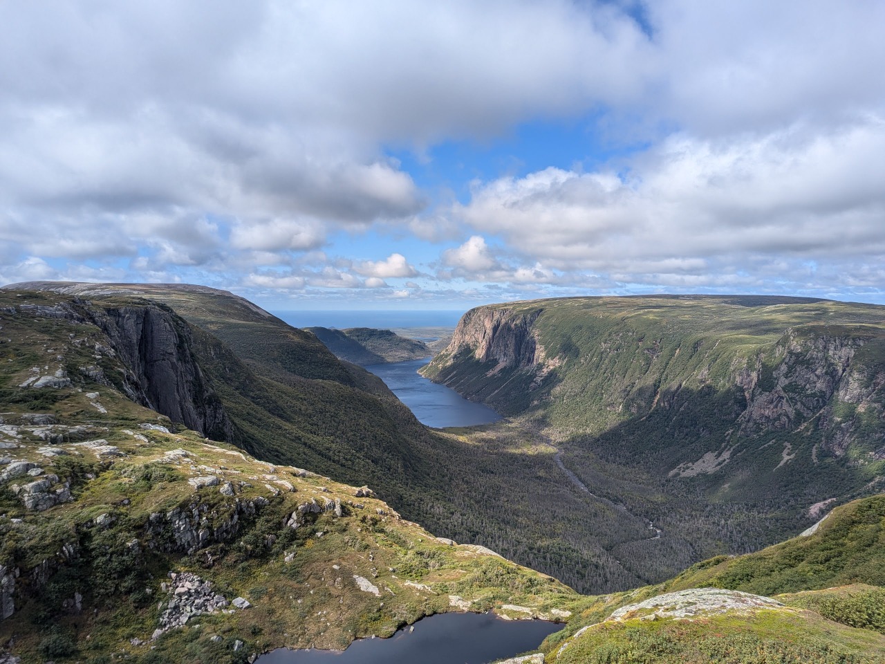
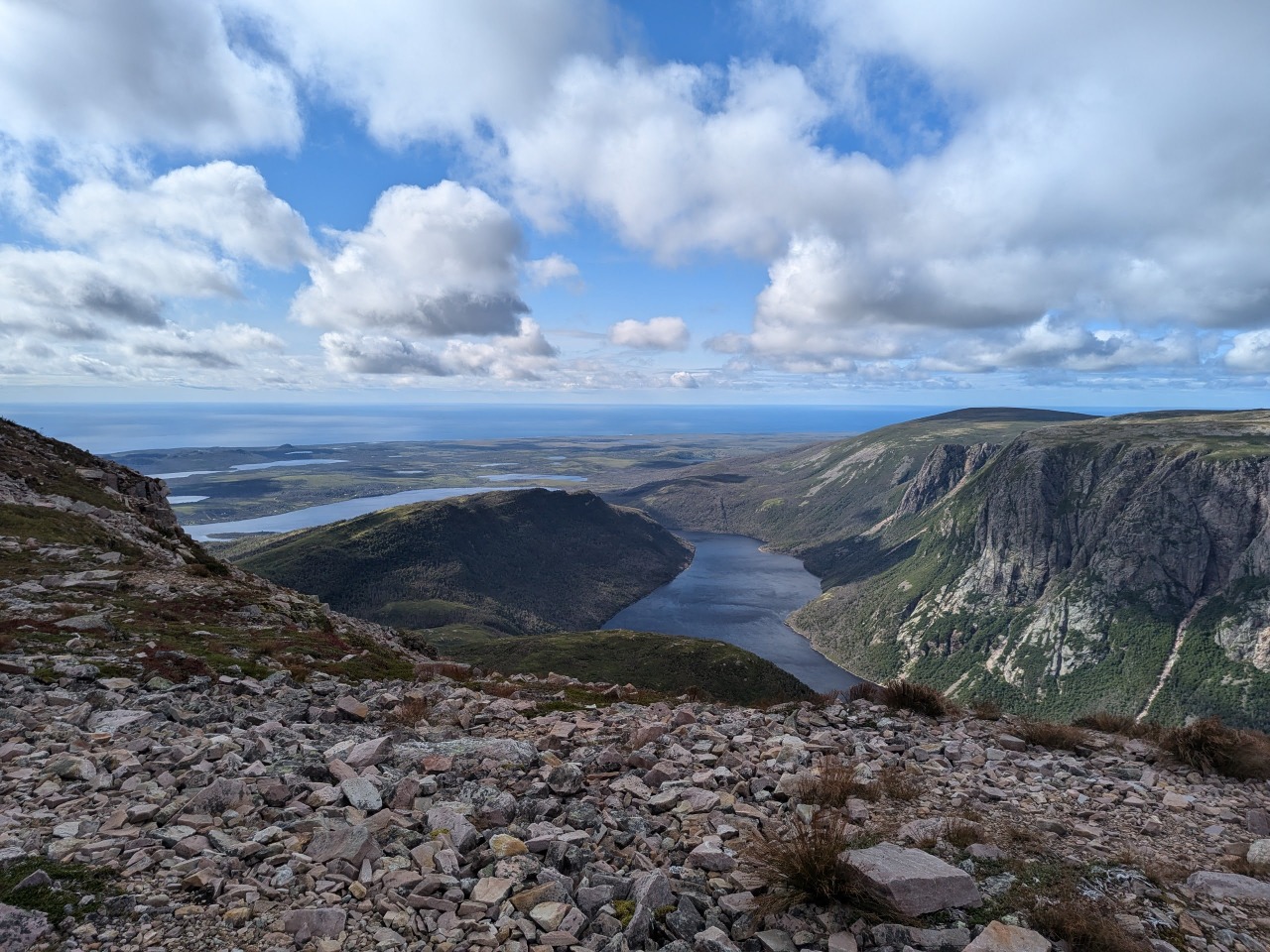
This hellish approach brought us to one of the more spectacular viewpoints on Earth. A rock diving board jutted out over a vertiginous drop of several thousand feet, and below, snaked a large ribbon of water that weaved betwixt dramatic, soaring cliffs, which each bore a number of impossibly tall waterfalls.
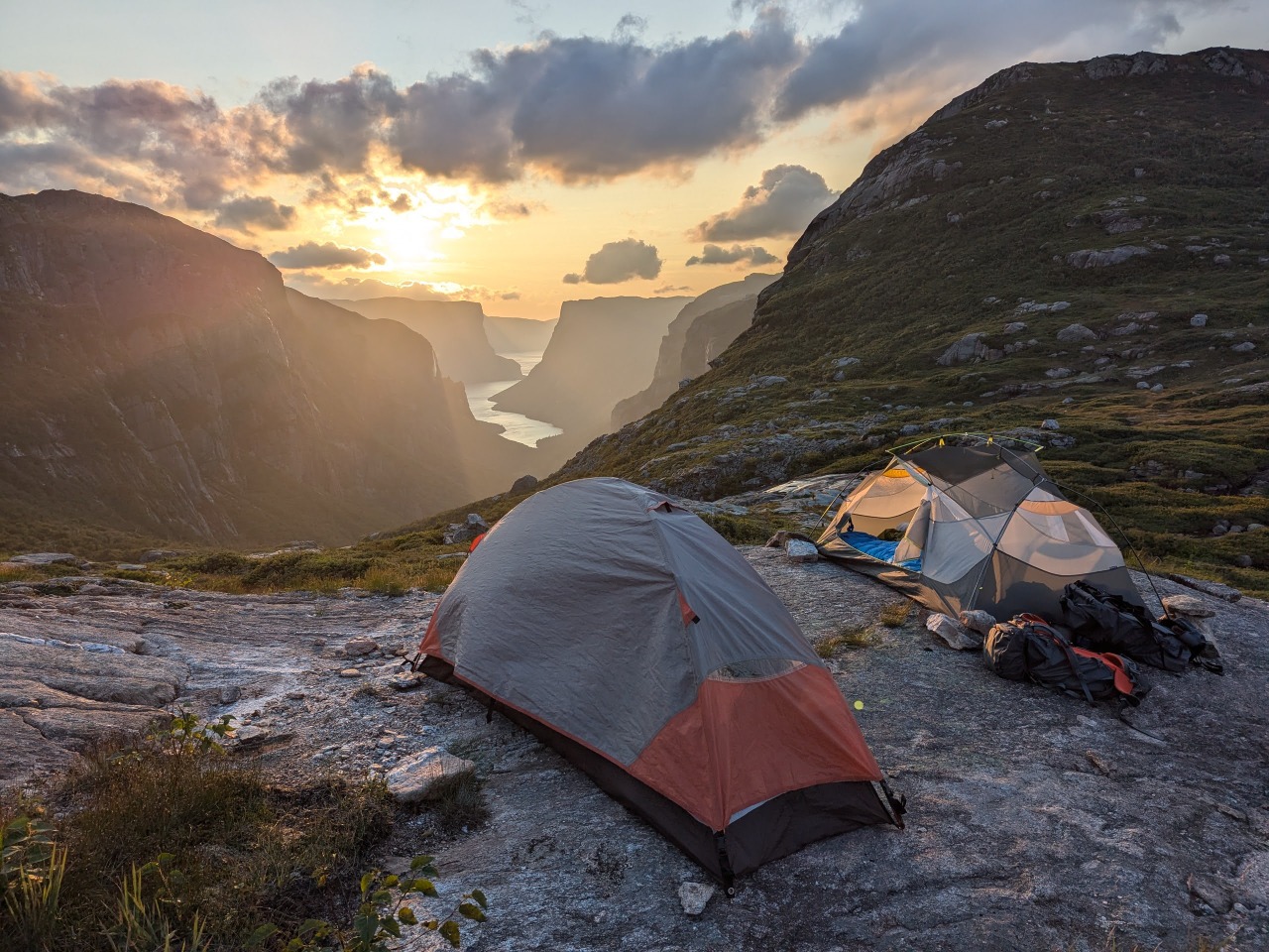
And just a kilometer further was the junction of the Northern and Long traverses, where we would perch our tents atop windswept granite slabs that would grant us the perfect spot to view the world’s most spectacular sunset. I would attempt to jog the 4km down to the boat dock at the head of the canyon, but would soon find that the route consisted of an endless series of slippery parkour moves, over 500m of vert, that would take far longer to tackle than the meager remaining daylight would allow.
And so we fixed dinner at our campsite and bunked down, sans rain-flys, for a final warm, clear night before the onset of the impending storm.
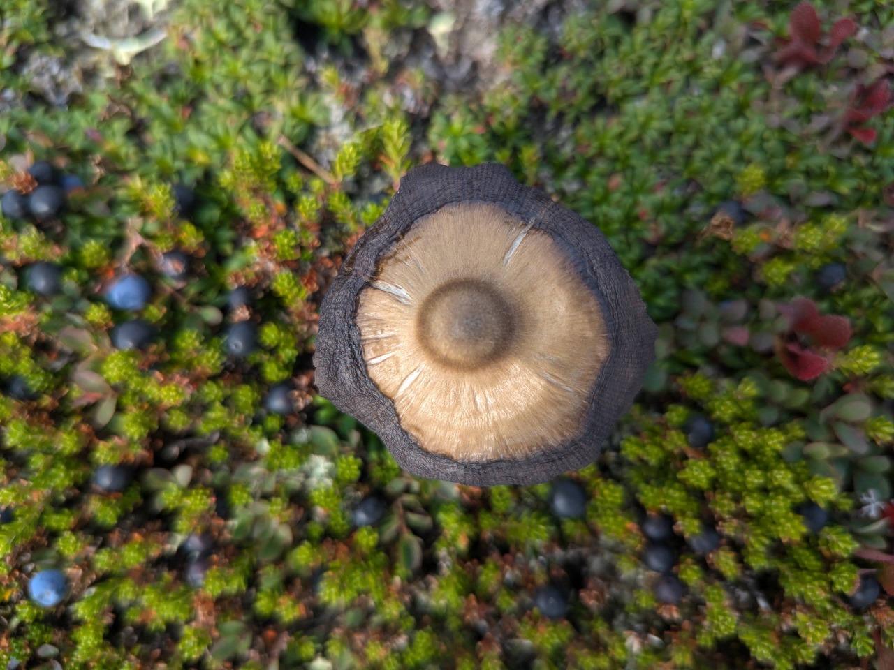
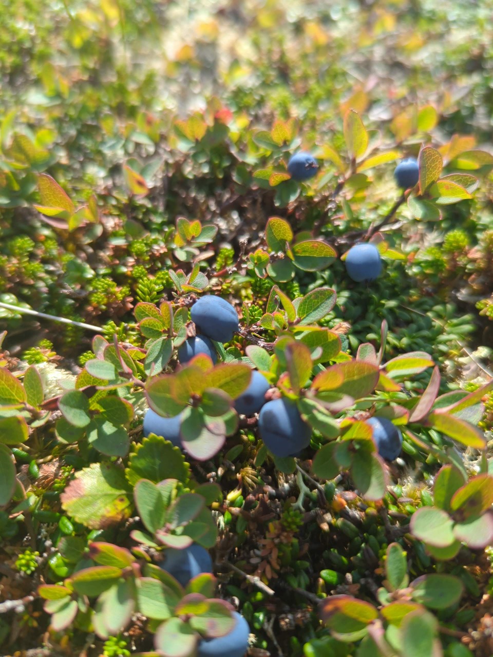
Berries abound!
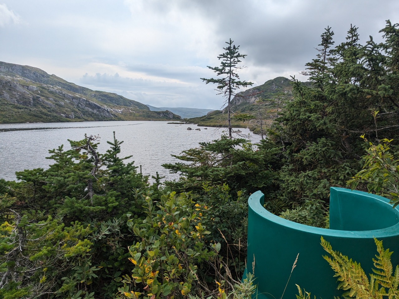
Probably one of the more scenic toilets in the world.
We knew the rain would be starting between 7 and 9 the next morning and resolved to pack up and get moving before our tents had a chance to get wet. I packed up before the others, who had actual cooking equipment and delectable Mountain House breakfasts, and announced that I would head for the toilet at the first campsite. By the time I arrived there, a light rain had begun to fall, and I opted to press on to the next site, some 6km away, where we had planned to stay the night.
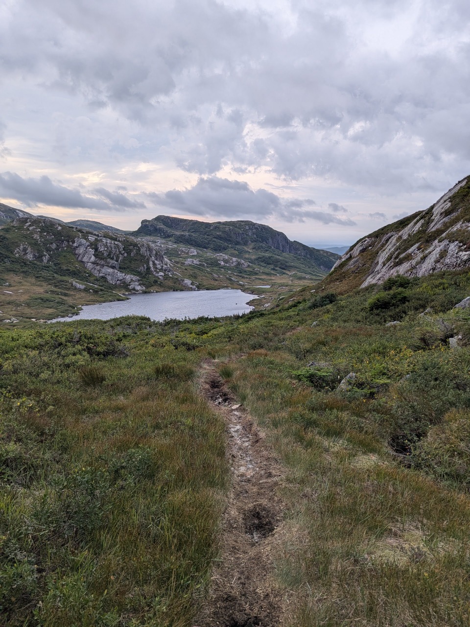
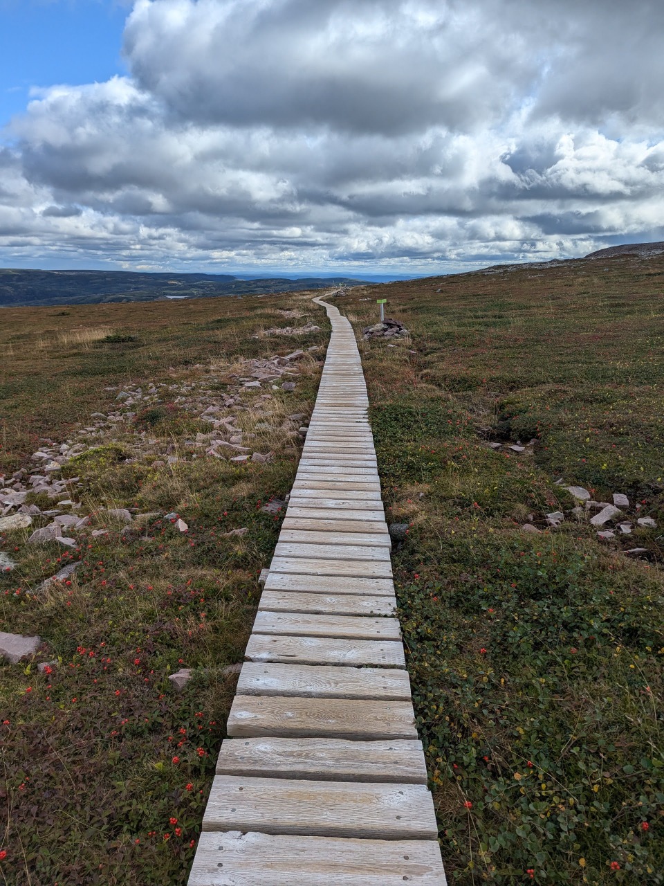
The cloudy skies, light drizzle, cool breeze, and obvious trail made for delightful hiking in what I perceived to be quintessentially Newfoundland conditions. When I arrived at the next camp, I made lunch, began to filter water, and prepared to wait for the crew, but halfway through the filtering, the winds picked up and a driving, sideways rain began to fall. I was confident that my tent would never stand up to such an assault, and briefly contemplated stuffing myself in the bear box to wait, but thought it better to push through the storm and set up camp when it stopped. I could race to the top of Gros Morne Mountain where I would get reception and keep my friends apprised of my whereabouts. This was almost certainly the wrong decision.
Over the next several miles, conditions deteriorated, and the once clear trail turned to a maelstrom of violent streams and waterfalls. The temperature dropped and the wind propelled the raindrops into my face at stinging speeds. My progress was punctuated by frequent drops into mud pits, slips on boulders, and knee-deep crossings of raging streams. I repeatedly sought shelter in tuckamore groves so I could stop shivering and review my phone’s map. Following each glimpse at my current location relative to the intended track, I would do my best to head in the right direction for a time before again stopping to check if my chosen bearing had been at all on point. I had set up a silicone bag of ramen in the small of my back to cook, and at one point, I burrowed into a grove to snack on this and regain some of my strength and body heat. One such grove snatched away my rain cover and left my bag far more vulnerable to the relentless rains.
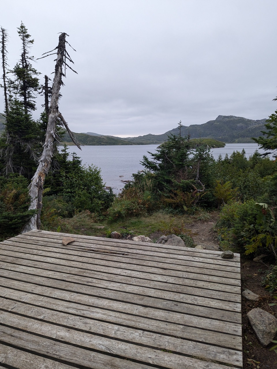
As the next camp came into view, the clouds parted and I was granted a brief interlude to set up my tent and do my best to sort out my sodden gear. Two other groups were already hunkered down on adjacent platforms, but I would see little of them until the rains finally stopped some 18 hours later, when we were finally willing to step outside our tents.
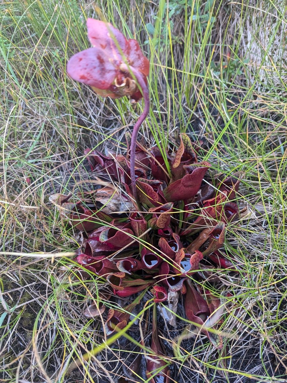
Carnivorous pitcher plant!
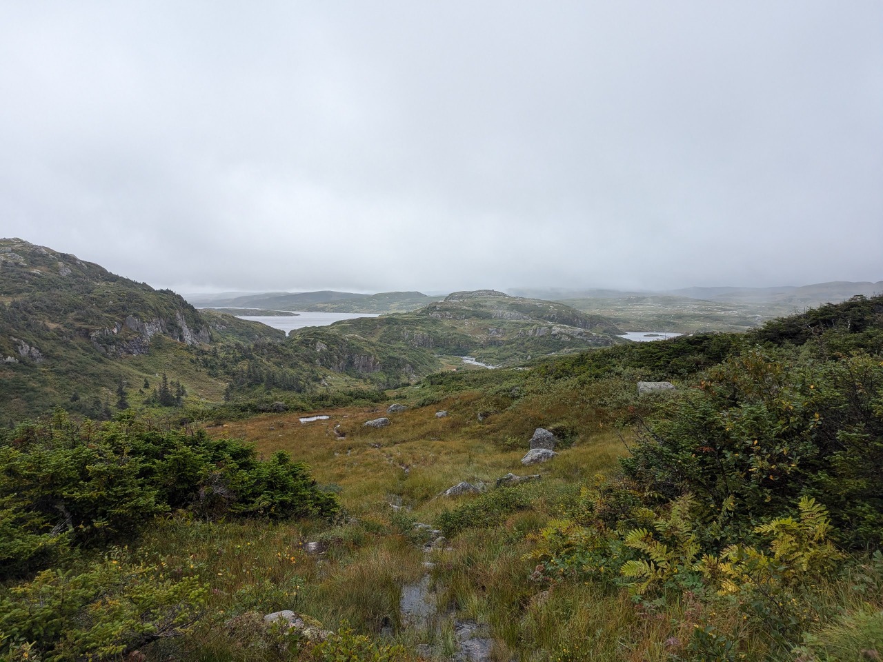
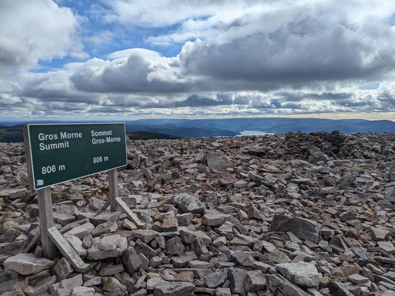
Once we emerged and found the weather much improved, I made plans with two guys from Halifax to drive into town upon our completion of the trail that evening, then set off across a rather swift and treacherous river to reach the next part of the hike. The weather held all day and the hike continued to be easy-to-follow and spectacular. The route ends with the popular Gros Morne Mountain loop, and you have the option of proceeding over the 2500ft summit or circumventing it. I opted for the harder option, only later inferring from the confused questioning of daytrippers that it was generally thought to be a one-way trail, and I was going the wrong way.
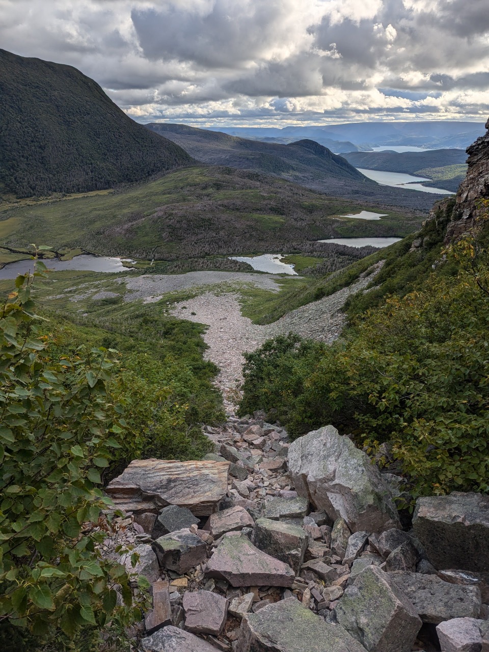
From the top of the mountain, I watched a helicopter race overhead and descend into the valley below, but I would never learn of its target. My phone showed full bars, but I received none of the texts from Alex’s inReach that I had expected. An exceptionally long talus scramble took me down from the summit and lent cause to the argument for the trail being unidirectional. I sat for a time at the trailhead awaiting the arrival of the Halifax guys, but two guys from Santa Rosa, who had held the other platform at our site, appeared and informed me that they had left after the pair and had never passed them. I left an obvious note at the trailhead and got a ride into Rocky Harbor.
We met up at the only bar in town to feast upon lobster rolls, poutine, and New England IPAs. The bar hosted something called a Kitchen Party three times a week, which seemed to be a classic rock singalong and was absolutely packed - it bore a $15 cover, from which we were thankfully exempt. Despite appearing to be a man of some means, one of the California guys vindicated my choice of backpacker meals by explaining that he, too, ate only 25-cent Top Ramen for his dinners on-trail.
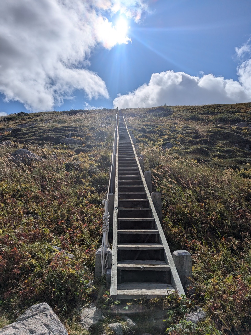
So much infrastructure!
World's longest talus hike?
